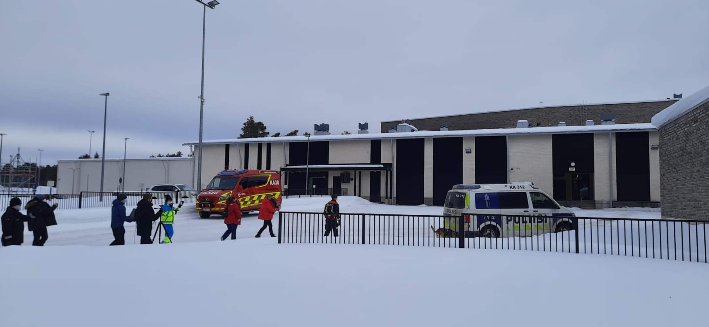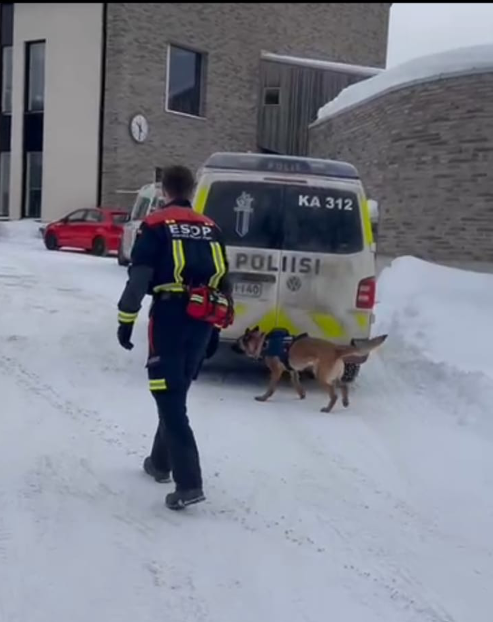
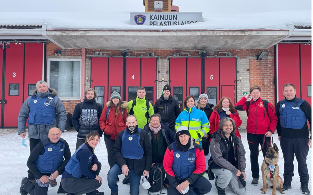
The pilot of the FASTER project took place on March 10th in the Lehtikangas elementary school, in Kajaani, Finland. The exercise was organized by the Kainuu Rescue Services (Kainuun Pelastuslaitos).
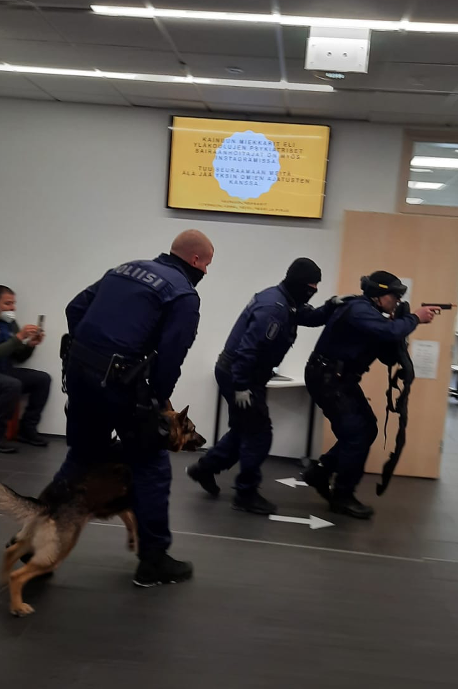
A man-made explosion, hostage situation and fire outbreak were simulated, aiming to test the FASTER technologies. More than 40 practitioners participated in the exercise that was followed in videoconference by about 50 FASTER consortium members and stakeholders.
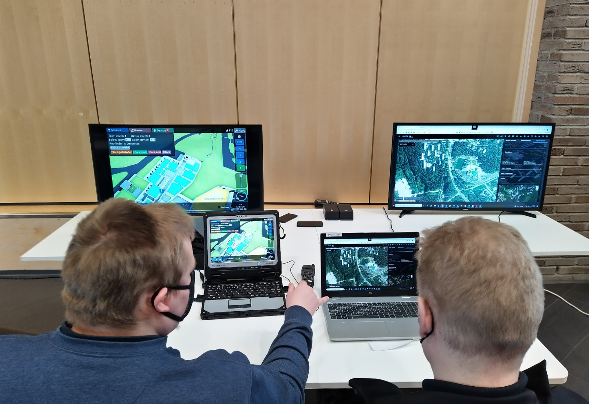
The mission management application was used to communicate the situation in the field, provide updates and issue orders. Smart textiles worn by responders provided live updates to the team leader on the wellbeing of the personnel in the field and envir. Smart watches were used for communication between field operatives, to provide status updates, request evacuations, and order extinguishing actions.
The Summit XL robot, equipped with a video camera, infrared camera and lidar was used to scout the school before the entry of first responders to locate the perpetrator, victims, and create a 3-D map of the environment for first responders.
2D mapping and extended vision from UAVs helped first responders to get an better overview from the scene.
Extended vision in AR glasses were used to navigate and receive tasks from the G-COP and BUST inside in the building to evacuate victims from the classrooms.
Rescue boxes were used to deliver messages to the trapped victims, to provide information on rescue efforts.
The above data was managed by the Global Common Operational Picture module (G-COP), displaying in real time on a cartographic map all information from the field.
The building sensors data visualization & scene analysis from building sensors data (BUST) tools were used in the leading center to identify at risk areas for responders, review movement history within the building to locate victims and follow the number of persons in the building and its different sections.
See also at https://www.youtube.com/watch?v=Uzun5CfqwyM