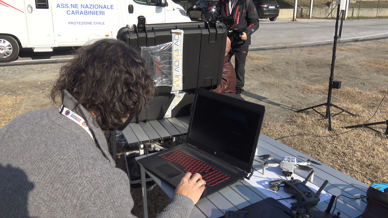
During the Turin pilot, CERTH tested two innovative tools centered around drones.
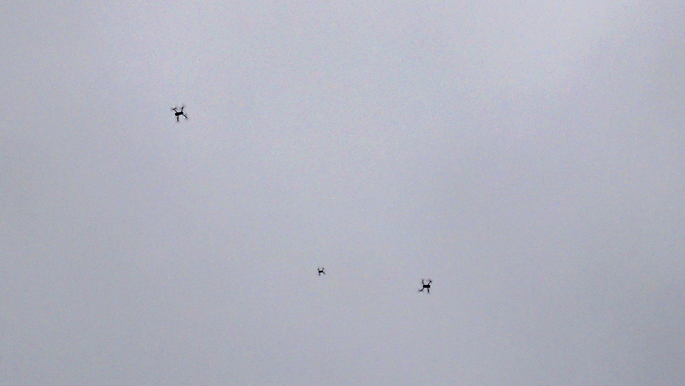
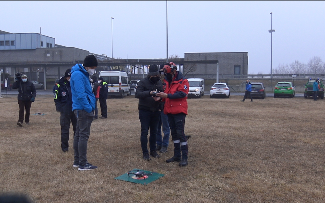
The automated drone mapping directs one or more drones to fly autonomously over a selected area, photographing it. The photographs are combined into a high-quality, up-to-date map of the area, and displayed on the Common Operational Picture, layered on top of the offline map. In Turin, for the first time, this tools was tested with multiple drones. Two drones from local first responders, in addition to CERTH’s drone, were used to complete the mission faster. The drones automatically split the area between them, each covering a different part. After some false starts due to bad connection issues, the three drones successfully completed the mapping mission.
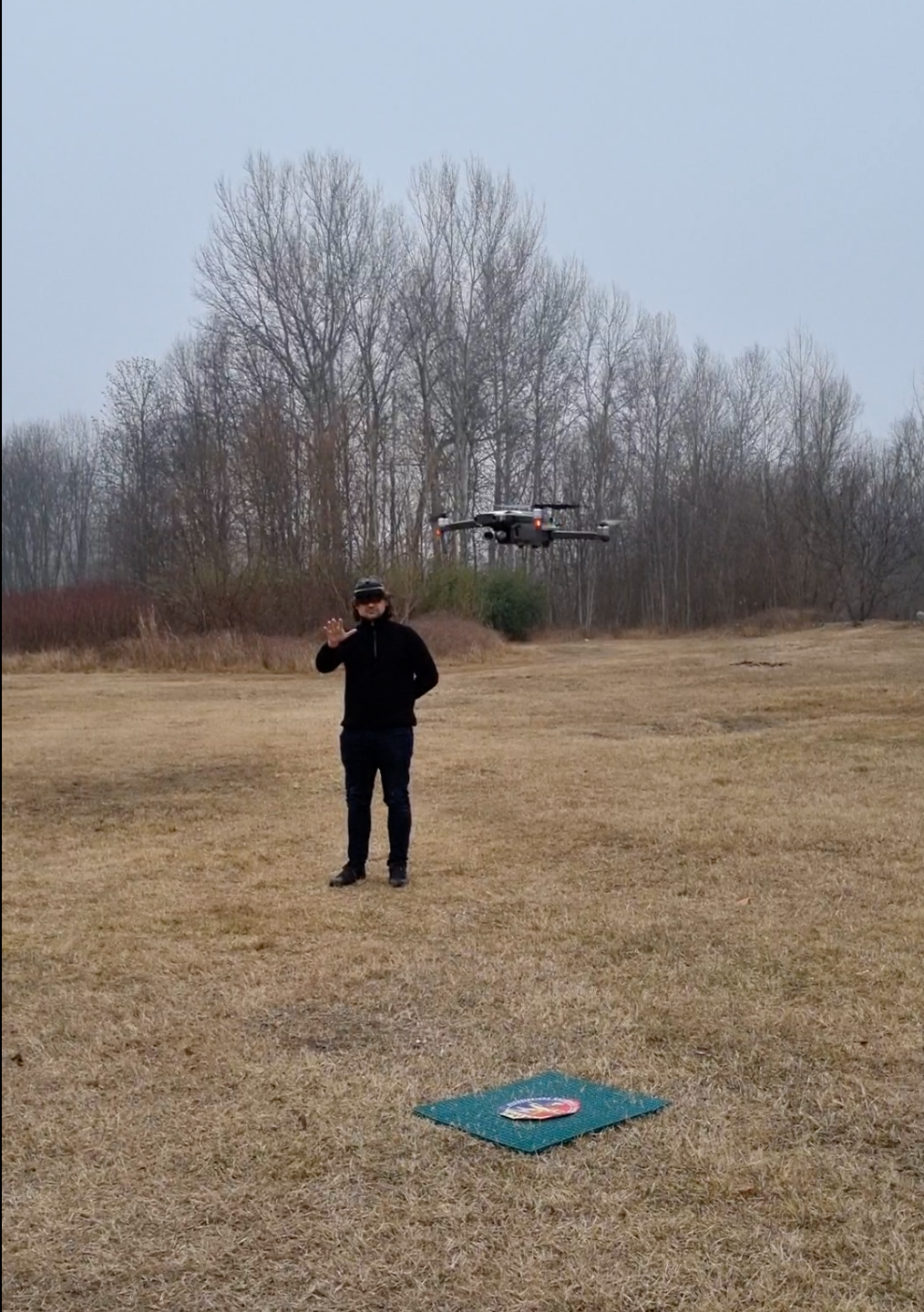
The Augmented-Reality-based drone gesture control and extended vision allows users to pilot the drone with simple and intuitive hand gestures, while viewing the drone’s video feed in AR. After some tests in the open, the demonstration of this tool concluded indoors. There the user’s first-person view in AR was streamed to a screen and shared remotely, so first responders both present and remotely connected had the chance to experience the first-person view.The Turin pilot provided a chance for CERTH to both test their tools in operational conditions and identify some bugs and weak points. In particular, the pilot’s experience drove the development of updated versions of the tools, robust to bad or intermittent connectivity and utilizing improved memory management.